
[caption id align="alignnone" width="600"]
Photo by adam blauert [/caption]
Merced City Parks
The City of Merced maintains a wide range of neighborhood, regional, and community parks within the city limits. Many of these parks are located along Merced City Bikeways.
Information on bike routes is included in the descriptions below.
[caption id align="alignnone" width="2500"]
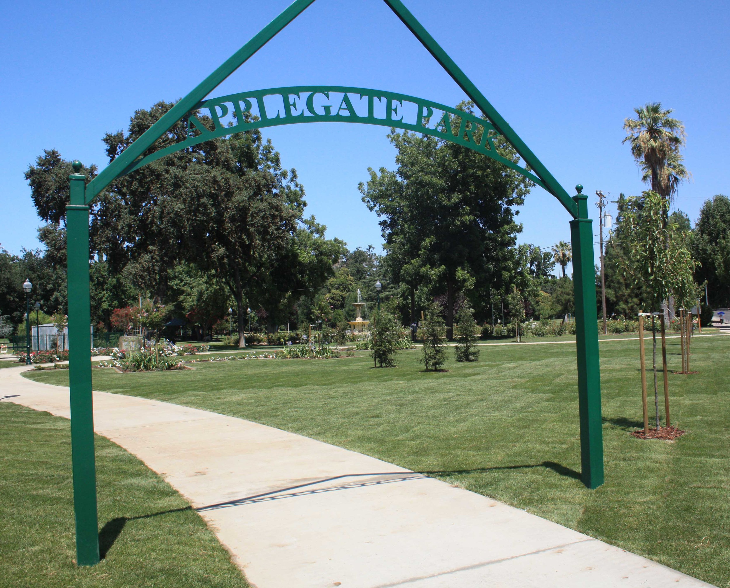
Applegate -photo by adam blauert [/caption]
The city’s largest parks include
- Applegate Park
- Fahrens Park
- Joe Herb Park
- McNamara Park
- Merced Dog Park
- Rahilly Park
- Youth Sports Complex
Neighborhood Parks
...are located within a half mile walk of nearly every home in Merced. To find a park in your neighborhood, click on this link to view a map on the City of Merced’s website:http://www.cityofmerced.org/civica/filebank/blobdload.asp?BlobID=7595
This map also shows parks that the City plans to build in coming years.
[caption id align="alignnone" width="855"]
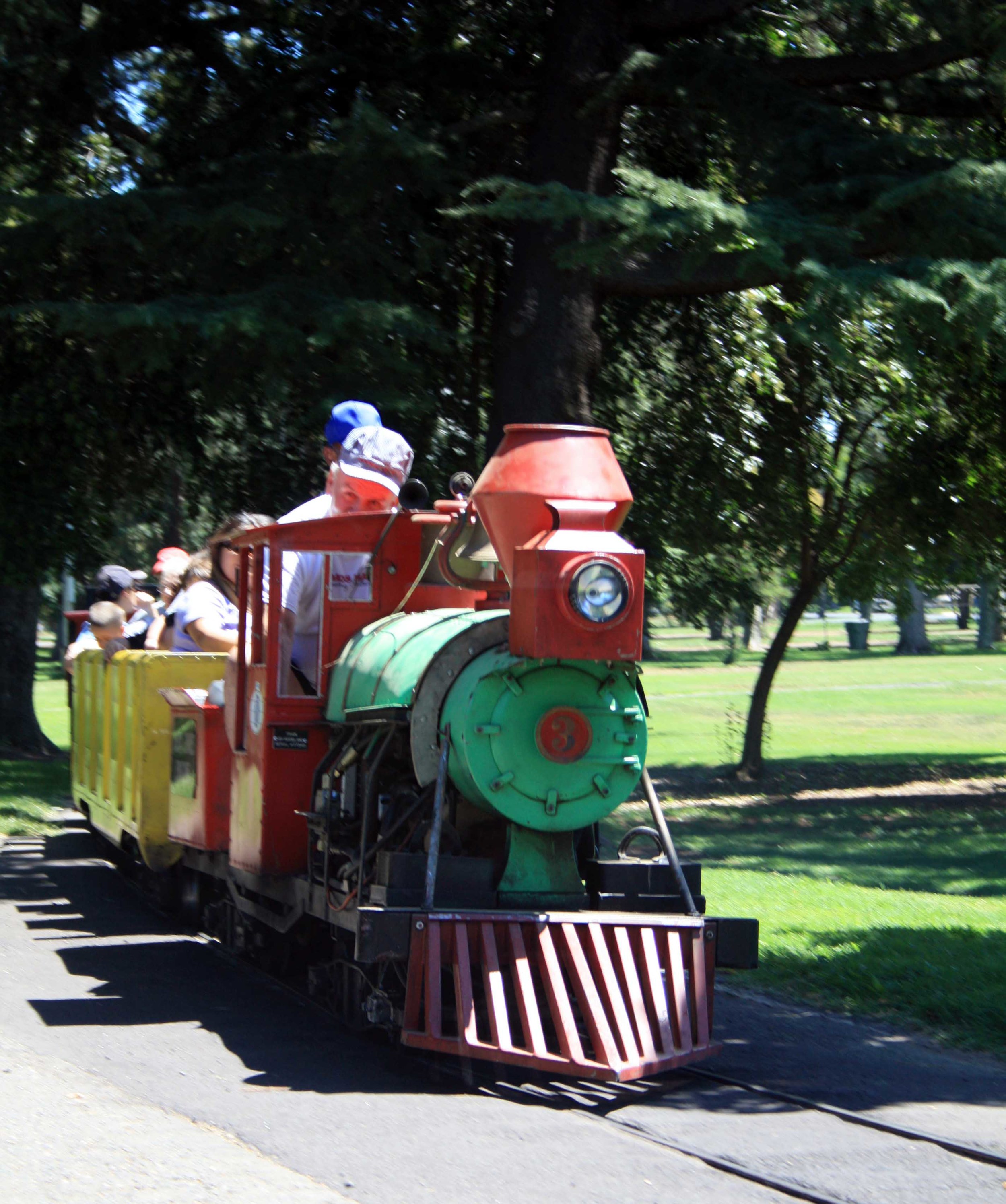
Kiddieland - PHOTO BY ADAM BLAUERT [/caption]
Applegate Park
Applegate Park is Merced’s central park. Located along the Bear Creek Bikeway, the park is an excellent destination on bike or foot.
It offers 32 acres of recreation with a zoo, outdoor theater, picnic tables, bbq grills, volleyball nets, tennis/basketball courts, a skate park, rental facilities, a large playground, a rose garden, fountain, and the Kiwanas-sponsored Kiddieland amusement park.
Plenty of parking is located around the park.
Many community events are held at Applegate, including concerts and plays in the summer.
[caption id align="alignnone" width="2500"]
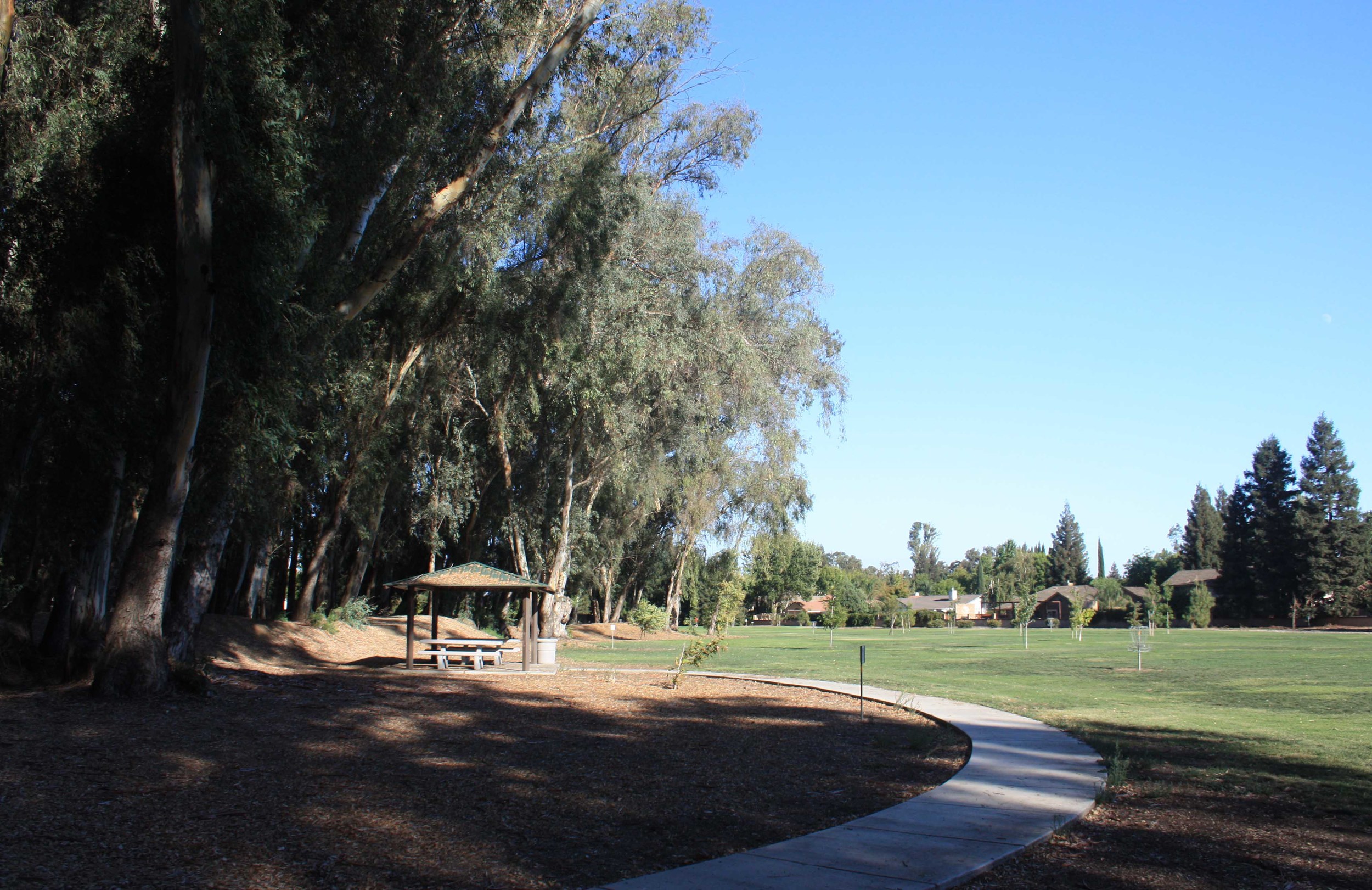
Fahrens Park - PHOTO BY ADAM BLAUERT [/caption]
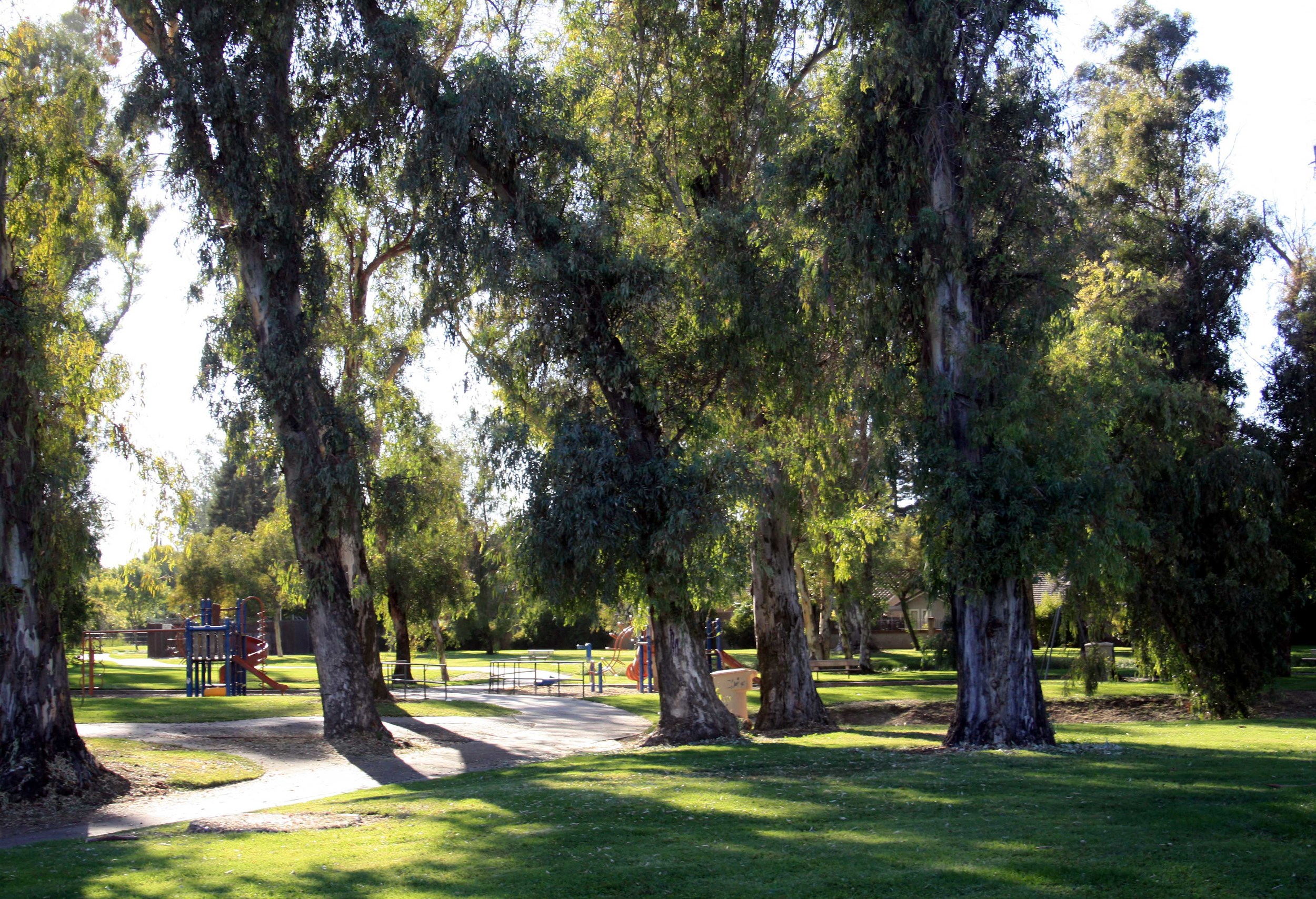
Fahrens Park
Stretched out along both Faherns and Black Rascal Creeks, this park boasts a brand new disc golf course and plenty of shade.
[caption id align="alignnone" width="2500"]
Fahrens Park - PHOTO BY ADAM BLAUERT [/caption]
Fahrens Park features a frisbee course
Location: Along Buena Vista Drive between R Street and Highway 59.
Size: 48 acres
Facilities:
[caption id align="alignnone" width="499"]
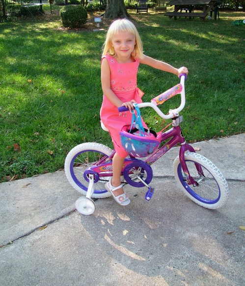
bike rider [/caption]
- Restrooms and drinking fountains
- Picnic tables, BBQ grills
- Playground
- Disc golf course (course map: http://www.cityofmerced.org/documents/discgolfMap8x11.pdf)
- Bikeway connections: Located along the Rascal Creek Bikeway. For a map, go to:http://www.cityofmerced.org/documents/MercedCityBikePlan.pdf
For information about the bike trails of Merced, click here.
Joe Herb Park
Adjacent to Golden Valley High School, this park provides a large area for recreation in southeast Merced. City league softball games are often held on the lighted softball fields.
Location: 2200 Yosemite Parkway, Merced
Size: 27 acres
Facilities:
- Restrooms and drinking fountains
- Picnic tables and shelters, BBQ grills
- Playground
- Concessions stand
- Baseball/softball diamond
- Horseshoe pits
- Soccer fields
McNamara Park
Centrally located in south Merced, McNamara Park offers a broad range of recreational activities and plenty of shade.
Location: 1040 Canal Street, Merced, Ca
Size: 9 acres
Facilities:
- Restrooms and drinking fountains
- Picnic tables and shelters, BBQ grills
- Playground
- Concessions stand
- Recreation hall
- Baseball/softball diamond
- Basketball courts
- Horseshoe pits
- Soccer fields
- Swimming pool
[caption id align="alignnone" width="2500"]
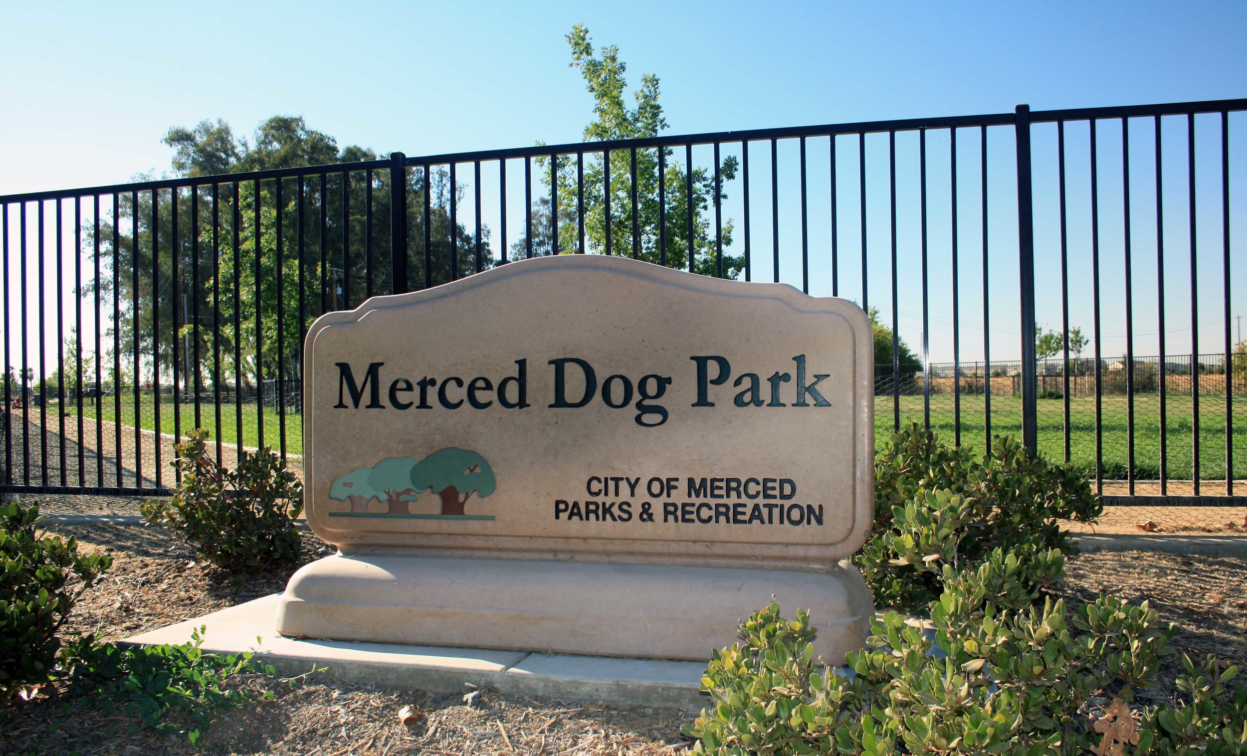
Dog Park - PHOTO BY ADAM BLAUERT [/caption]
Merced Dog Park
Looking for a place to allow your dog to play off-leash with other dogs? The Merced Dog Park has well-fenced areas for both small dogs and larger dogs.
For information about the local dog club:
M-DOGS (Merced Dog Owners Group)
Location: Yosemite and R Streets
[caption id align="alignnone" width="573"]
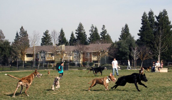
Merced Dog Park - PHOTO BY ADAM BLAUERT [/caption]
Size: 8 acres
Facilities:
- Restrooms and drinking fountains
- Pet waste bag dispensers
- Picnic tables
- Bocce ball courts
- Bikeway connections: Located along the Fahrens Creek Bikeway. For a map, go to:http://www.cityofmerced.org/documents/MercedCityBikePlan.pdf
[caption id align="alignnone" width="2500"]
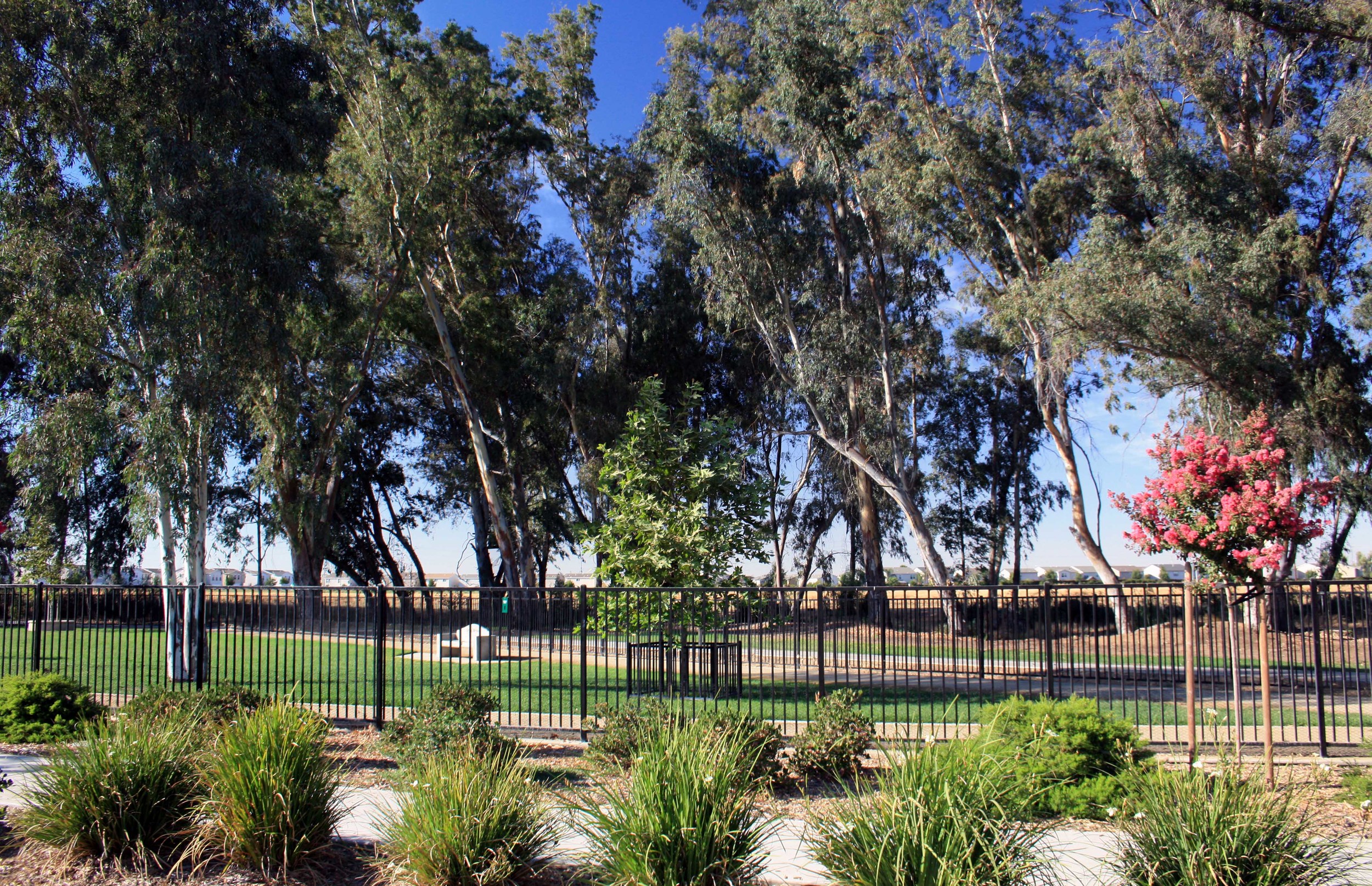
Dog Park - PHOTO BY ADAM BLAUERT [/caption] [caption id align="alignnone" width="2500"]
Rahilly Park 3 [/caption]
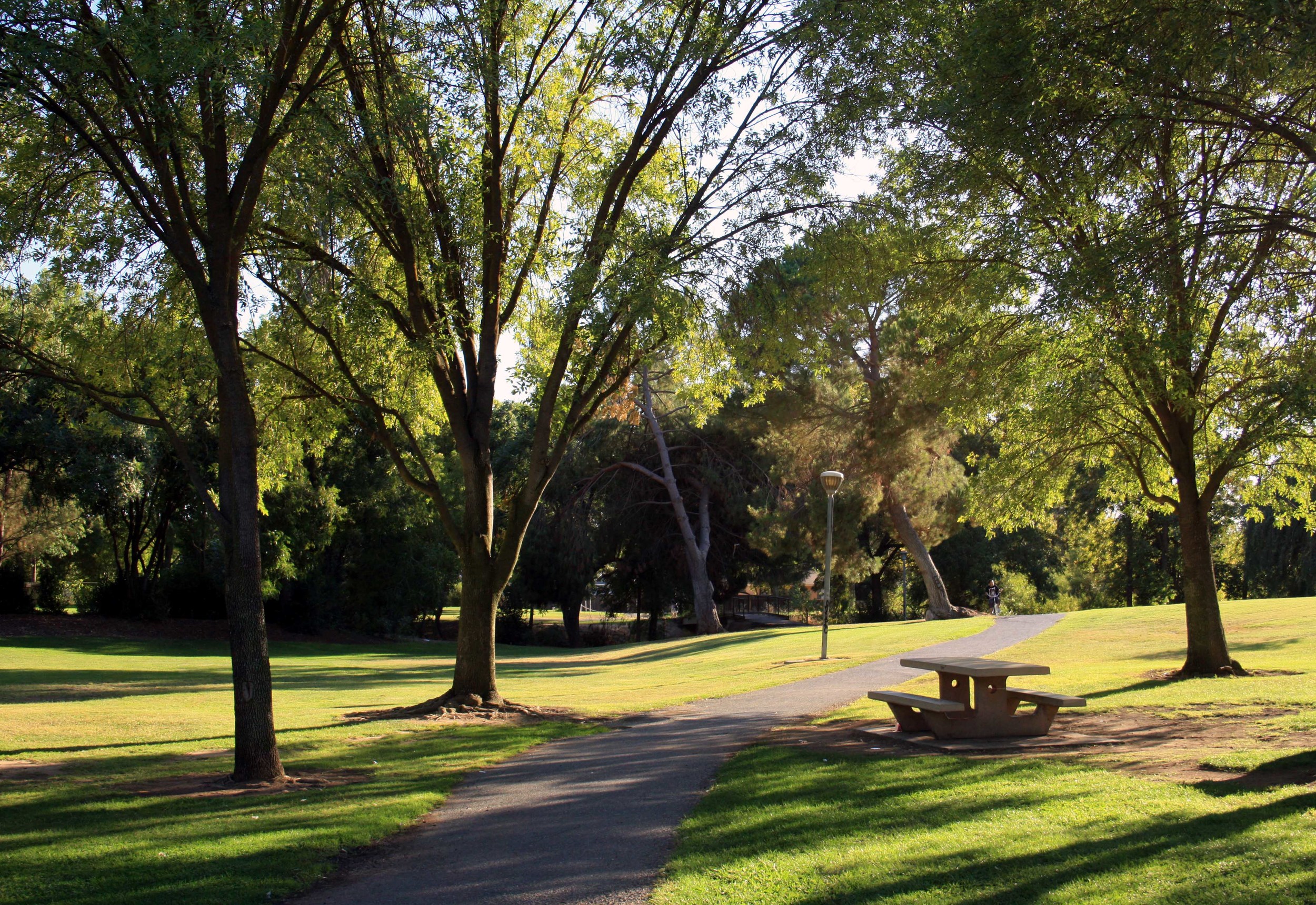
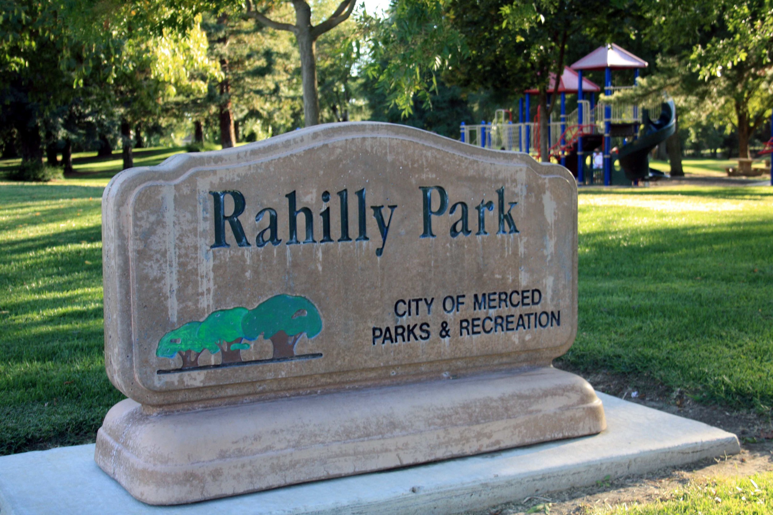
Rahilly Park
A shady creekside park in the center of north Merced, Rahilly Park has long been a favorite with families.
To avoid confusion, note that Google maps and other online map sources may refer to this park as “Black Rascal Park.”
[caption id align="alignnone" width="2500"]
Rahilly Park - PHOTO BY ADAM BLAUERT [/caption]
Rahilly Park
Location: 3302 Parsons Avenue, Merced
Size: 17 acres
Facilities:
- Restrooms and drinking fountains
- Picnic tables and shelters, BBQ grills
- Playground
- Soccer fields
- Bikeway connections: Located along the Rascal Creek Bikeway. For a map, go to:http://www.cityofmerced.org/documents/MercedCityBikePlan.pdf
Youth Sports Complex
Location: 1800 Block of Wardrobe Avenue, Merced
Size: 12 Acres
Facilities:
- Restrooms and drinking fountains
- Concessions stand
- Baseball/softball diamond
- Soccer fields
Adam Blauert, a high school teacher and avid outdoors enthusiast, has dedicated the majority of his life to Merced County. His passions include fishing, backpacking, delving into local history, and exploring the wonders of the western states. Read More →