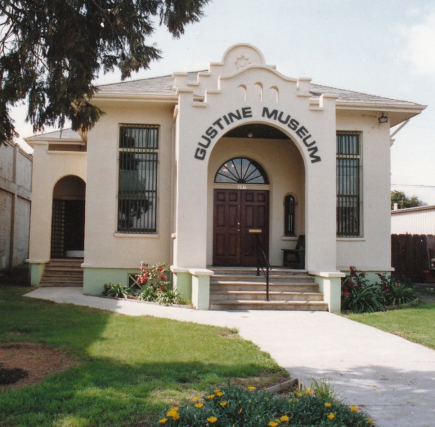
[caption id align="alignnone" width="599"]

PHOTO BY ADAM BLAUERT [/caption]
Mexican land grant
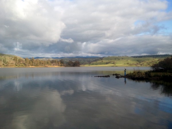
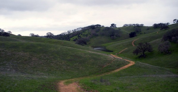
This park preserves part of a large Mexican land grant given to the Pacheco family in 1843. 28 miles of trails are available for hiking, biking, and equestrian use. Thousands of acres of gently rolling oak woodland produces spectacular wildflower displays in the spring. The ruins of the Pacheco Adobe and a well-preserved line shack from Henry Miller’s ranching operation stand near the picnic area.
[caption id align="alignnone" width="600"]
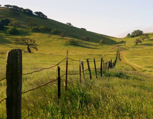
Photo by akshay [/caption]
Location
Accessed from Highway 152. Distance from Merced: 59 miles Distance from Los Banos: 23 miles Size: 6,890 acres
Facilities and Activities
- Chemical/flush restrooms
- An equestrian campground is available for special events; other campgrounds are available at the adjacent San Luis State Recreation Area
- Picnic areas with tables
- 28 miles of hiking/biking/equestrian trails
- Wildlife viewing
- Wildflower viewing
- Dogs Allowed? In picnic area, but not on trails
- Horses Allowed? Yes
- Hunting Allowed? No
- Fishing or Boating? No
Website information
http://www.parks.ca.gov/pages/560/files/PachecoSP_2011.pdf
http://www.parks.ca.gov/?page_id=560
See for a trail guide
http://www.parks.ca.gov/pages/560/files/PachecoTrailMap2006small.pdf
[caption id align="alignnone" width="601"]
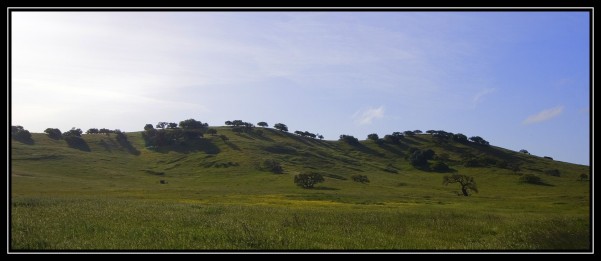
Photo by akshay [/caption]
Special Events
Ranger-led wildflower hikes in the spring. A kite flying day is also held annually.
Nearby Parks
Camping is available at the adjacent San Luis State Recreation Area
Apr 30, 2020 About Adam Blauert Apr 30, 2020
Adam Blauert, a high school teacher and avid outdoors enthusiast, has dedicated the majority of his life to Merced County. His passions include fishing, backpacking, delving into local history, and exploring the wonders of the western states. Read More → Apr 30, 2020